What is Geofencing? How Can It Improve Last Mile Deliveries?
Optimizing last-mile deliveries is one of the challenges for delivery businesses. Last-mile deliveries are regarded as costly since they make up 41% of supply chain expenses and 53% of shipping costs. Businesses that cannot optimize their last mile do not survive in the long run. This is where the concept of geofencing comes in.
In this blog, we’ll uncover the concept of geofencing, why it’s important in last-mile deliveries, and how it can help your business.
Table of Contents
What is geofencing?
Geofencing is drawing a virtual boundary area for the real world on a computer that uses location data to provide information for monitoring the movement of a person into and out of a particular area. It triggers activity when a device enters the defined virtual perimeter around a geographical location. The triggers are sent via WiFi, GPS, cellular, or RFID tags.
What is last-mile delivery?
Last-mile delivery is the final leg of deliveries, where the product is delivered to the final consumer. The final or end consumers usually include homes and offices. Last-mile delivery is one of the most expensive parts of business operations, making it essential to streamline it. Optimizing last-mile deliveries can help minimize fuel consumption and improve customer satisfaction.
Role of last-mile delivery management in delivery businesses:
- It automates scheduling and optimizes routes, reducing delivery turnaround time and improving delivery efficiency.
- Using technologies like geofencing can help you track and monitor deliveries in real time.
- Optimizing last-mile deliveries ensures accurate and on-time deliveries, increasing customer satisfaction rates.
- Streamlined and optimized last-mile deliveries reduce logistical costs, adding to business profits.
What is geofencing in delivery management?
Geofencing in delivery management refers to defining serviceable areas and routes on the system, assigning routes to the drivers, and tracking deliveries through GPS. Geofencing uses geographical coordinates (latitudes and longitudes) for delivery tracking. It can improve the efficiency and productivity of last-mile deliveries. Delivery businesses use geofencing to track and manage their multi-stop deliveries and multiple drivers.
Challenges in last-mile deliveries without geofencing
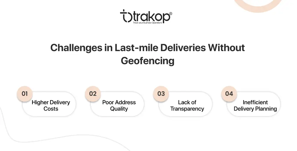
Last-mile deliveries play an important role in improving your customer experience for businesses. Efficient last-mile deliveries also enhance financial performance as they assist in reducing delivery costs. Major challenges you might face without geofencing are:
Higher delivery costs
As learned above, last-mile deliveries account for 53% of total shipping costs, and inefficient management can increase delivery costs. Your driver might make unnecessary rounds that increase fuel consumption, delay deliveries, and reduce customer satisfaction.
Poor address quality
It is difficult to get the precise location without a geofencing tool. Approximately 65% of failed deliveries are due to poor address quality, making it difficult to locate the accurate address. Manual address management can lead to manual errors that result in failed or canceled deliveries. Your drivers can end up at the wrong address, leading to delays in order delivery and hampered customer satisfaction.
Lack of transparency
Today, customers want frequent order status updates and to track their orders. They appreciate transparency and want to be up-to-date concerning their orders. Lack of transparency between businesses and their customers impacts customer satisfaction.
Inefficient delivery planning
It is easier to plan efficient deliveries with precise addresses. Manual delivery planning is prone to human errors and can lead to delivering to the wrong address, resulting in lower customer satisfaction rates and loyalty.
Features of geofencing in delivery management software
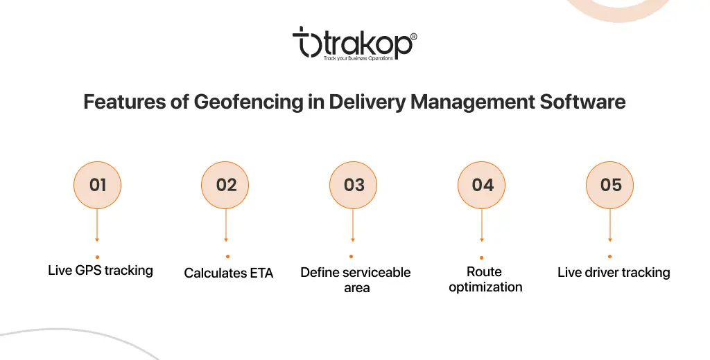
Geofencing offers various features that help you plan efficient deliveries, track drivers and orders, and improve address quality and customer satisfaction. Geofencing fetches customer addresses based on the geo-coordinates, providing their precise location. The features of geofencing in delivery management software are:
Live GPS tracking
Geofencing includes GPS (Global Position System) tracking, a space-based radio navigation system that provides accurate positioning and location of the driver, velocity, and time. It enables real-time delivery tracking and monitoring of drivers moving. 96% of survey participants said they track their orders online, and 43% said they track deliveries daily.
Calculates ETA
Customers need accurate time of arrival, especially for products with shorter shelf lives. Access to the delivery location and defining the virtual boundary help you know the exact time the driver will deliver the order. The ETA is then shared with the customers, enabling your customers to get ready to receive their orders.
Define serviceable area
Geofencing can help you define your serviceable areas. You can draw the area on the map in the delivery management software. Customers placing orders outside the serviceable areas will let them know that you do not serve in that area. The system also fetches their addresses based on the longitude and latitude, providing a precise delivery location.
Auto optimization
The geofencing in delivery software helps you define deliverable areas and create routes for multi-stop and multiple routes. The system fetches addresses based on the customer’s longitude and latitude coordinates, which is very precise. Then the route optimization features of the delivery software sequences and optimizes delivery routes to make timely and accurate deliveries.
Live driver tracking
The integrated GPS (Global Positioning System) feature helps you track your drivers in real time. The delivery map in the delivery management software enables you to monitor the successful deliveries made by a particular driver. This lets you access your driver’s performance and create strategies to improve delivery efficiency.
Benefits of implementing geofencing into a business
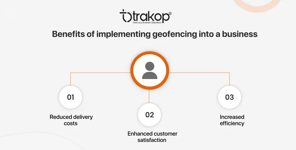
Geofencing is one of the important features in delivery software that contributes to making accurate and timely deliveries. Accelerating deliveries can help you improve delivery efficiency, productivity, and customer satisfaction. The benefits of implementing geofencing into a business are:
Reduced delivery costs
Defining your preferred delivery area prevents customers from coming from outside that area. This helps you reduce delivery turnarounds and fuel consumption, minimizing delivery costs. Other features of delivery software, like route optimization reduce fuel consumption and reduce delivery costs. Real-time delivery tracking and geofencing can prevent unauthorized vehicle movement, saving money.
Enhanced customer satisfaction
Customers can only place orders if they are in the defined serviceable area, preventing canceled orders and fostering transparency. Timely and accurate deliveries also improve the customer experience. Providing ETA fosters transparency, which satisfies their customers regarding their orders.
Increased efficiency
Geofencing defines your deliverable area and prevents customers from outside the area from placing orders. Our system also picks up the geo-coordinates of these customers. You can access the demand based on which you can decide on scaling and expanding the serviceable area of your business. This can improve business efficiency and productivity and ultimately increase your profits and customer base.
Leveraging TrakOp for geofencing
TrakOp is a SaaS location-based delivery software that offers geofencing. This feature lets you define serviceable areas and simplify delivery planning and route optimization. It provides live GPS tracking, enables ETA calculation, defines serviceable areas, auto-route optimization, and live driver tracking. Book a free demo to see how geofencing in TrakOp works.
Hope You Enjoyed the Read!

He loves to explore. His passion for helping delivery industries in all aspects flows through in the vision he has. In addition to providing smart solution to make delivery process flawless, Ravi also likes to write sometimes to make it easier for people from business industry looking for digital solutions.
